|
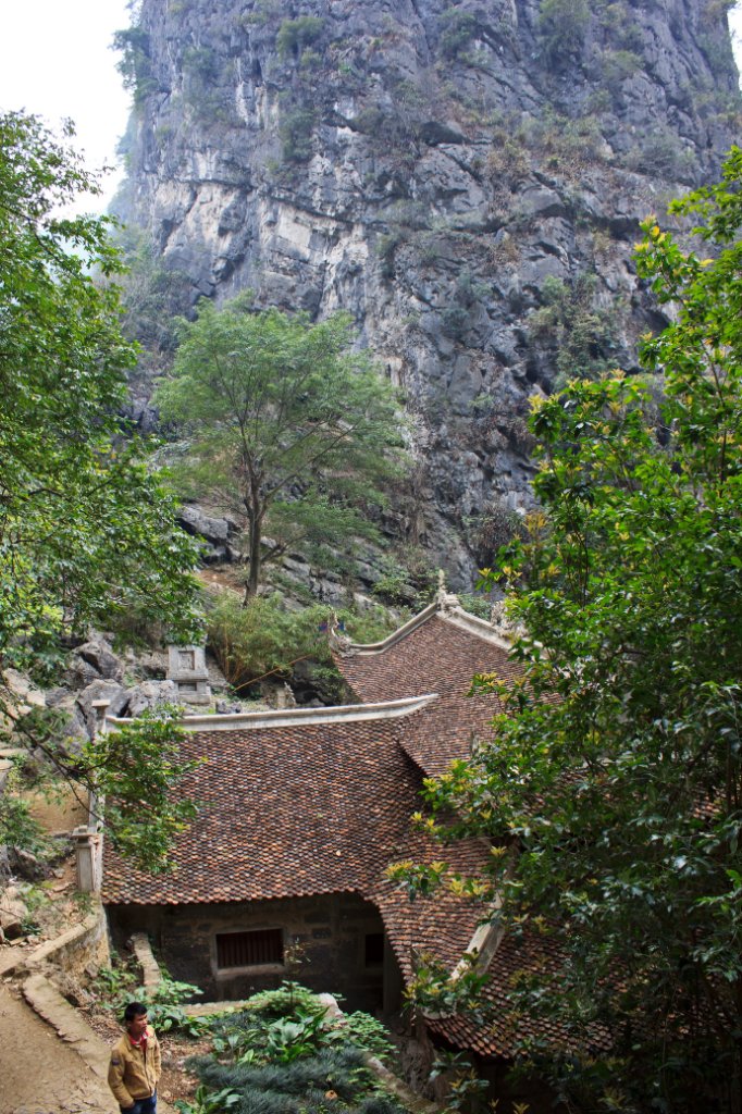 |
| Bich Tong Temple | |
| Latitude: N 20°13'9,89" | Longitude: E 105°54'54,73" | Altitude: 36 metres | Location: Vu Lam | City: Ninh Binh | State/Province: Hoa Binh | Country: Vietnam | Copyright: Ron Harkink | See map | |
| Total images: 23 | Help | |
|
|
|
| Bich Tong Temple | |
| Latitude: N 20°13'9,89" | Longitude: E 105°54'54,73" | Altitude: 36 metres | Location: Vu Lam | City: Ninh Binh | State/Province: Hoa Binh | Country: Vietnam | Copyright: Ron Harkink | See map | |
| Total images: 23 | Help | |